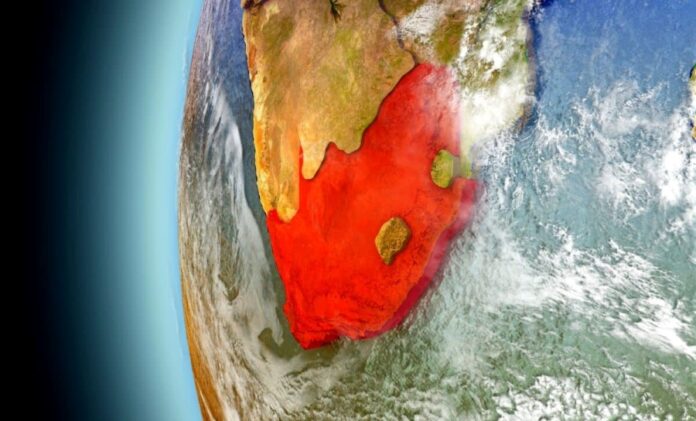
Illustrative Image: South Africa’s Land Is Rising Due to Drought: New Research Reveals Surprising Cause of Uplift
Image Source & Credit: Daily Galaxy
Ownership and Usage Policy
An Unexpected Discovery: Land Rising Above Sea Level
South Africa is experiencing a curious geological phenomenon—its land is slowly but steadily rising from the ocean. For decades, geoscientists attributed such vertical land movement to deep Earth processes such as mantle plumes or convection, where hot material ascends from the Earth’s interior, creating upward pressure on the crust.
However, new research led by geophysicists at the University of Bonn challenges that long-standing view. Instead, it appears that sustained droughts and the accompanying depletion of surface and groundwater are driving this surprising uplift.
Shifting Paradigms: From Mantle Flow to Mass Loss
Between 2012 and 2020, data collected from a network of permanent GPS stations across South Africa revealed vertical land movements of up to six millimeters in elevation, with average annual rises of nearly two millimeters. These GPS stations, which form part of a geodetic infrastructure designed to monitor Earth’s dynamic surface, provided highly accurate measurements of both vertical and horizontal displacements.
Initially, these uplifts were interpreted as evidence of mantle dynamics—hot, buoyant rock ascending through the mantle and causing the overlying crust to bulge upward. However, inconsistencies in regional patterns and new satellite data pointed to an alternative explanation.
According to Dr. Makan Karegar, a geodesy expert from the University of Bonn, a more plausible cause emerged: the loss of mass in the form of water. As groundwater and surface moisture diminish due to prolonged droughts, the weight pressing down on the Earth’s crust lessens, allowing it to rebound upward.
The Elastic Rebound: How Drought Lifts the Land
This phenomenon is governed by the principle of elastic isostasy—an idea rooted in geophysics that explains how the Earth’s crust behaves elastically when load conditions change. Similar to how a sponge or foam ball returns to its original shape once pressure is removed, Earth’s lithosphere can flex and rise when a substantial mass (like water) is lost.
The process is subtle but measurable. Using data from the GRACE (Gravity Recovery and Climate Experiment) satellite mission, researchers confirmed that the mass loss from soil moisture, surface water, and aquifers coincides with the observed uplift. GRACE satellites detect changes in the Earth’s gravitational field, which fluctuate with variations in surface mass—especially water.
However, GRACE data comes with a caveat: its spatial resolution spans hundreds of kilometers, meaning it captures broad regional trends rather than local ones. This is where ground-based GPS data proves invaluable, offering high-resolution insight into specific uplift zones, many of which match areas of severe water depletion.
Drought as a Geophysical Force
One of the most dramatic examples of this rebound occurred during South Africa’s 2015–2019 drought, a crisis that nearly brought Cape Town to “Day Zero”—the point at which the city would run out of water. Satellite imagery and GPS measurements show that during this time, land in the Western Cape rose significantly in response to the falling water table.
The visual data illustrates a strong spatial correlation: regions shaded brown, indicating high water loss, are also the ones where GPS stations recorded the greatest uplift. The red triangles on these maps signify upward movement, while blue would indicate sinking—providing a striking visual confirmation of the drought-uplift relationship.
A New Tool for Water Management and Climate Adaptation
Beyond its scientific intrigue, this discovery has practical implications. Monitoring land uplift offers a novel, cost-effective tool for tracking water resource depletion, especially in regions vulnerable to climate change and drought.
“By interpreting vertical ground movements, we can estimate changes in groundwater levels,” says Christian Mielke, another geophysicist involved in the study. “This provides indirect but highly valuable information about subsurface water loss, which is crucial for sustainable resource planning.”
In regions with limited hydrological monitoring infrastructure, GPS-based uplift data could serve as an early warning system for declining aquifers. With climate models predicting more frequent and intense droughts globally, such tools are urgently needed.
Conclusion: A Rising Land and a Sinking Realization
What first appeared to be a mystery rooted deep within the Earth has turned out to be a sign of what’s happening above it—a response to water scarcity rather than seismic forces. South Africa’s rising land is a silent signal of an unfolding environmental crisis, one that could be echoed in arid regions across the globe.
Understanding how droughts can reshape the very surface of the Earth opens up new pathways for environmental monitoring, climate adaptation, and resource management. As scientists refine these methods, GPS stations and satellite missions may become vital sentinels—not only for geophysical changes but for the state of our planet’s dwindling freshwater supplies.


 The African Research (AR) Index is a comprehensive scholarly directory and database focused explicitly on journal publishers that publish and disseminate African research.

